California State Historical Landmark #877
See this location on Yahoo Maps in Flickr
See this location on Google Maps
This landmark is located on the west corner of Tepusquet and Foxen Canyon Roads, 15 miles southeast of Santa Maria, California. There are 16 other California State Historical Landmarks in San Barbara County. The GPS coordinates for this location are 34° 50' 52.2" N 120° 14' 27.7" W.
You can log your visit to this landmark at waymark.com.

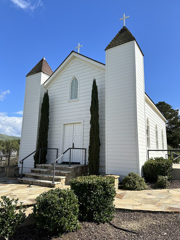
This redwood frame chapel erected in 1875 by Frederick and Ramona Foxen Wickenden for area residents, illustrates the transition between the architecture of the old missions and the frame churches of the later American settlers. It is a unique example of the use of wood to create strong, simple forms that had formerly been executed in adobe.
No comments:
Post a Comment