Showing posts with label E Clampus Vitus. Show all posts

Sunday, May 19, 2024

John Calhoun Johnson's Rancho

I stumbled upon this waymark while we were playing golf with the Wongs at the Apple Mountain Golf Resort.

John Calhoun Johnson's Rancho
E Clampus Vitus

See this location on Yahoo Maps in Flickr
See this location on Google Maps

This marker is located near the first tee at the Apple Mountain Golf Resort. The GPS coordinates for this location are 38° 44' 58.9" N 120° 42' 32.4" W.

You can log your visit to this landmark at waymark.com.

JOHN CALHOUN JOHNSON'S RANCHO

JOHN CALHOUN JOHNSON'S RANCHO

JOHNSON, A YOUNG ATTORNEY KNOWN AS COLONEL OR "COCKEYED EMIGRATED FROM OHIO IN THE SPRING OF 1849 BY AUGUST HE FOUND A PERFECT SITE ON 320 ACRES HERE FOR HIS FARM. HIS HOME WAS KNOWN AS THE SIX MILE HOUSE, A WAY STATION. MANY WEARY EMIGRANTS RECORDED HIS RANCHO AS THE FIRST HOUSE THEY SAW SINCE CROSSING THE PLAINS. HE IS KNOWN FOR THE ROUTE HE DISCOVERED FROM CARSON CITY TO PLACERVILLE IN 1852 CALLED "JOHNSON'S CUTOFF", NOW US HIGHWAY 50. IN 1850-1851, JOHNSON SERVED AS ADJUTANT WITH THE STATE MILITIA DURING THE EL DORADO INDIAN WARS, WITH HIS RANCHO AS HEADQUARTERS. JOHNSON ALSO WAS THE FIRST TO CARRY MAIL OVER THE SIERRAS AND FIRST TREASURER OF EL DORADO COUNTY. IN 1855 HE SERVED AS STATE ASSEMBLYMAN. JOHNSON OPERATED A SAWMILL ON THIS SITE. OVER THE YEARS, MANY MINES WERE LOCATED ON HIS RANCHO. IN 1874, HE SOLD HIS RANCHO AND MOVED TO ARIZONA TERRITORY NEAR TOMBSTONE, WHERE HE WAS KILLED BY APACHES, 13 SEPTEMBER 1876.

DEDICATED 10 MAY 2014, THE YEAR OF OUR ORDER 6019.
GROWLERSBURG CHAPTER #86, YERBA BUENA CHAPTER #1,
JAMES MARSHALL OUTPOST 149, CREDO QUIA ABSURDUM.

E CLAMPUS VITUS


JOHN CALHOUN JOHNSON'S RANCHO

Tuesday, June 14, 2022

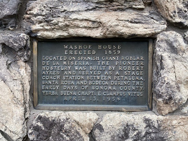
Washoe House

Ricky's Celebration of Life was held at the Washoe House.

Washoe House
E Clampus Vitus

See this location on Yahoo Maps in Flickr
See this location on Google Maps

This marker is located at 2840 Roblar Road, Petaluma, California. The GPS coordinates for this location are 38° 18' 52.9" N 122° 44' 08.8" W.

You can log your visit to this landmark at waymark.com.

Washoe House
Washoe House
Erected 1859

Located on Spanish grant Roblar de la Miseria. The pioneer hostelry was built by Robert Ayres and served as a stage coach station between Petaluma, Santa Rosa and Bodega during the early days of Sonoma County.

Yerba Buena Chapt. E Clampus Vitus
April 13, 1958

Washoe House

Thursday, April 18, 2019

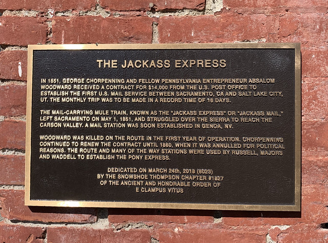
The Jackass Express

Larkin and I stopped here with Gainsley et al on day two of the 2019 Petersen Shootout.

The Jackass Express
E Clampus Vitus

See this location on Yahoo Maps in Flickr
See this location on Google Maps

This marker is located at 2282 Main Street, Genoa, Nevada. The GPS coordinates for this location are N 39° 00.196 W 119° 50.782.

The Jackass Express

In 1851, George Chorpenning and fellow Pennsylvania entrepreneur Absalom Woodward received a contract for $14,000 from the U.S. Post Office to establish the first U.S. mail service between Sacramento, CA and Salt Lake City, UT.  The monthly trip was to be made in a record time of 16 days.

The mail-carrying mule train, known as the "Jackass Express" or "Jackass Mail," left Sacramento on May 1, 1851, and struggled over the Sierra to reach the Carson Vally.  A mail station was soon established in Genoa, NV.

Woodward was killed on the route in the first year of operations.  Chorpenning continued to renew the contract until 1860, when it was annulled for political reasons.  The route and many of the way stations were used by Russell, Majors and Waddel to establish the Pony Express.

Dedicated on March 24, 2018 (6023)
By the Snowshoe Thompson Chapter #1827
of the ancient and honorable order
E Clampus Vitus

Genoa Bar

Thursday, June 07, 2018

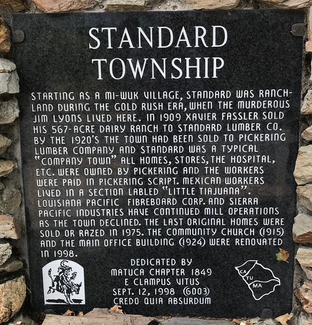
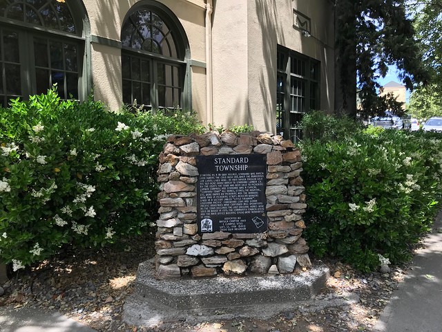
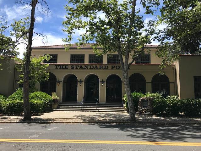
Standard Township

I drove by this spot a number of times while I was working in Sonora in 2014, but never took the time to stop. I had lunch here when we were working in Sonora on Tuesday.

Standard Township
E Clampus Vitus

See this location on Yahoo Maps in Flickr
See this location on Google Maps

This marker is located at 19040 Standard Road, Standard, California. The GPS coordinates for this location are 37° 58' 09.1" N 120° 18' 48.5" W.

Standard Township

Starting as a Mi-Wuk village, Standard was ranchland during the gold rush era, when the murderous Jim Lyons lived here. In 1909 Xavier Fassler sold his 567-acre dairy ranch to Standard Lumber Co. By the 1920’s the town had been sold to Pickering Lumber Company and Standard was a typical “company town” all homes, stores, the hospital, etc. were owned by Pickering and the workers were paid in Pickering script. Mexican workers lived in a section labeled “Little Tiajuana”. Louisiana Pacific, Fibreboard Corp., and Sierra Pacific Industries have continued mill operations as the town declined. The last original homes were sold or razed in 1975. The community church (1915) and the main office building (1924) were renovated in 1998.

Standard Township

Standard Township

Friday, April 27, 2018

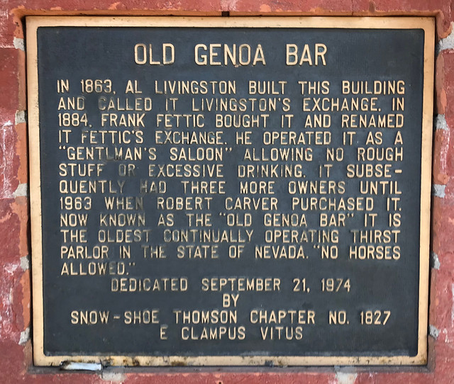
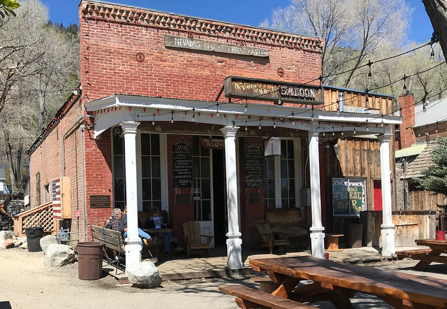
Old Genoa Bar

Larkin and I stopped here with Gainsley et al on day two of the 2018 Petersen Shootout.

Old Genoa Bar
E Clampus Vitus

See this location on Yahoo Maps in Flickr
See this location on Google Maps

This marker is located at 2282 Main Street, Genoa, Nevada. The GPS coordinates for this location are N 39° 00.196 W 119° 50.782.

You can log your visit to this landmark at waymark.com.

Old Genoa Bar

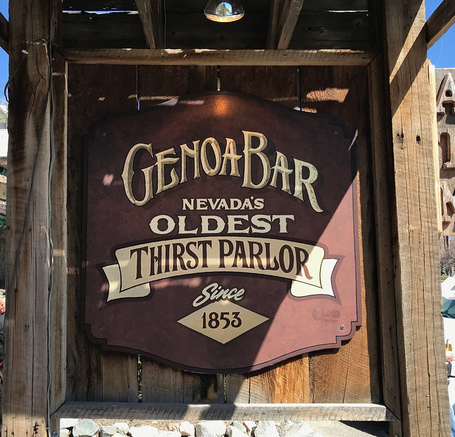
In 1863, Al Livingston built this building and called it Livingston’s Exchange. In 1884, Frank Fettic bought it and renamed it Fettic’s Exchange. He operated it as a “Gentlemen’s Saloon” allowing no rough stuff or excessive drinking. It subsequently had three more owners until 1963 when Robert Carver purchased it. Now known as the “Old Genoa Bar” it is the oldest continually operating thirst parlor in the State of Nevada. “No Horses Allowed.”

Old Genoa Bar

Genoa Bar