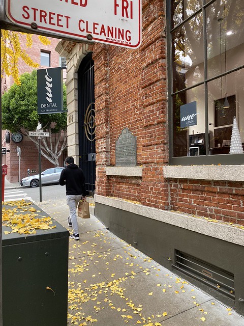
While we were in San Francisco in December, I did a walkabout and found eight different California Historical Markers, including:
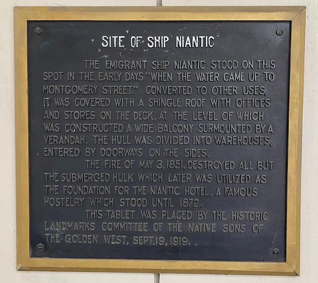
#88 Niantic Hotel;
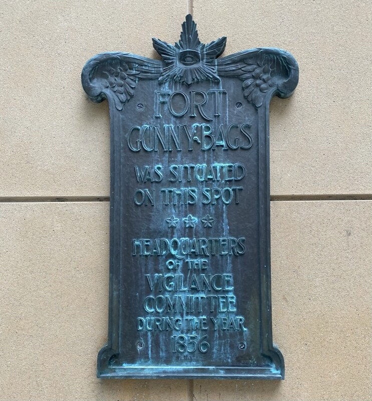
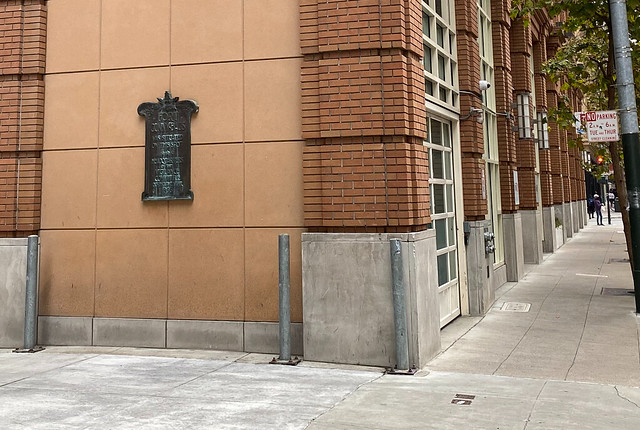
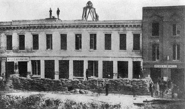
#90 Fort Gunnybags;
#462 Site of First Jewish Religious Services in San Francisco;
#408 Site of the the first Meeting of Freemasons held in California;
#453 Lucas, Turner & Co. Bank;
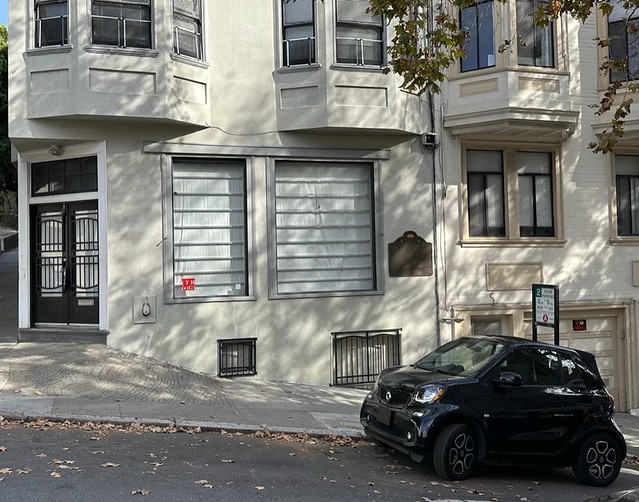
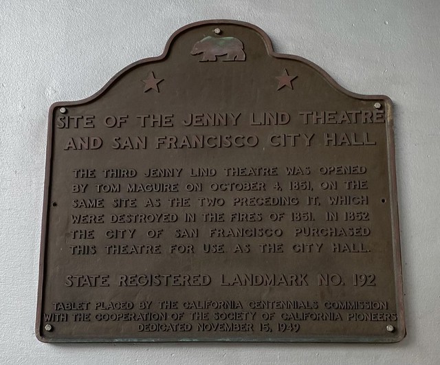
#192 El Dorado, Park House and Dennison's Exchange;
#500 Site of the Eastern Terminus of Clay Street Hill Railroad; and,
#119 Portsmouth Plaza.
Portsmouth Plaza
California State Historical Landmark #119
See this location on Yahoo Maps in Flickr
See this location on Google Maps
This landmark is located in Portsmouth Plaza at Clay and Kearny Streets, San Francisco, California.
There are 48 other California State Historical Landmarks in San Francisco County. The GPS coordinates for this location are 37° 47' 42.1" N 122° 24' 20.0" W.
Portsmouth Plaza
An Historic Shrine
Named for U.S.S. Portsmouth commanded by John B. Montgomery after whom Montgomery Street was named. It was here on the plaza that Capt. Montgomery first raised the American flag near the Mexican adobe custom house on July 9, 1846. This plaza was the center of many early day activities among which were the following:
First public school building erected 1847, S. W. corner of plaza, where religious services and many public meeting were held.
Dramatic and authoritative announcement of gold discovery made by Sam Brannan on May 11, 1848, who displayed glittering samples to crowds on plaza.
Election of delegates to Monterey Constitutional Convention urged at mass meeting June 12, 1849.
Served as place of refuge for citizens following conflagrations of 1849, 1850, 1851 and 1906.
On July 16, 1849, crowd assembled to organize against depredations of lawless body called "The Hounds."
Memorial services held August 29, 1850, following death of President Zachary Taylor.
First Admission Day celebration held October 29, 1850, following news brought by steamship Oregon that California, on September 9, had become 31st state.
Indignation meeting organized June 1, 1852, to protest against purchase by City Council of Jenny Lind Theater as City Hall.
Commemorative service held for Henry Clay, August 10, 1852.
Colonel E. D. Baker, September 18, 1859, delivered oration over body U. S. Senator David C. Broderick killed in duel with Chief Justice David S. Terry.
Robert Louis Stevenson spent many hours here during his visit to The City in 1879-1880.
State Registered Landmark No. 119
Tablet placed by California Centennial Commission
Dedicated September 1950