California State Historical Landmark #650
See this location on Yahoo Maps in Flickr
See this location on Google Maps
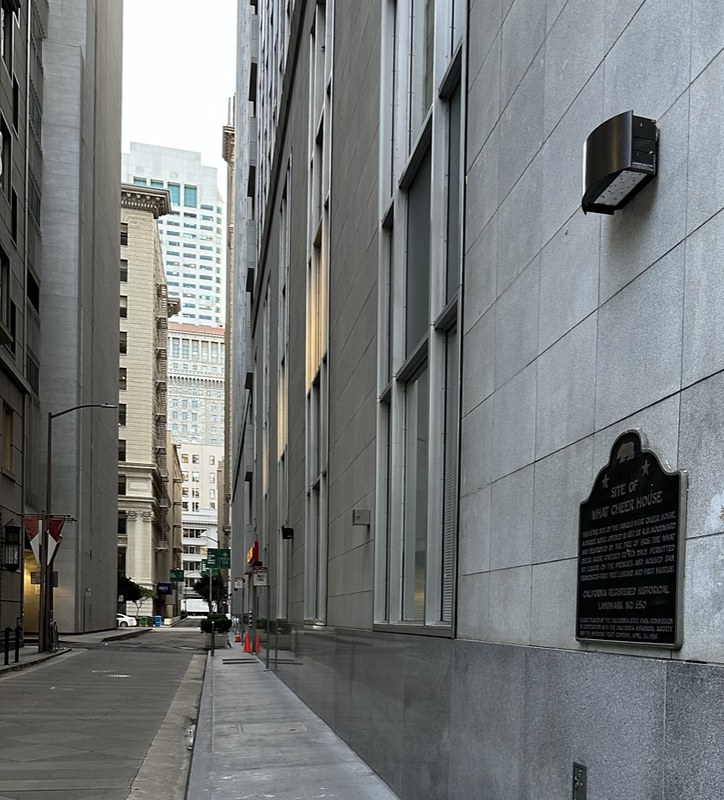
This landmark was located at southwest corner of Sacramento and Leidesdorff Streets, San Francisco, California. There are 48 other California State Historical Landmarks in San Francisco County. The GPS coordinates for this location are 37° 47' 37.9" N 122° 24' 07.9" W.
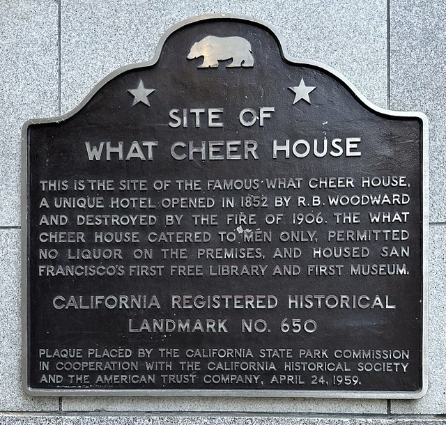
This is the site of the famous What Cheer House, a unqiue hotel opened in 1852 by R. B. Woodward and destroyed by the fire of 1906. The What Cheer House catered to men only, permitted no liquor on the premises, and housed San Francisco's first free library and first museum.
No comments:
Post a Comment