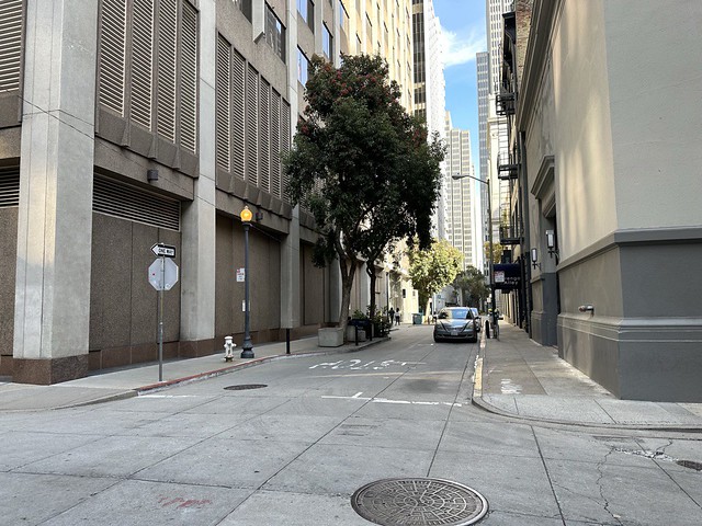
California State Historical Landmark #328
See this location on Yahoo Maps in Flickr
See this location on Google Maps
This landmark was located at the intersection of Leidesdorff and Commercial Streets, San Francisco, California. There are 48 other California State Historical Landmarks in San Francisco County. The GPS coordinates for this location are 37° 47' 39.3" N 122° 24' 09.6" W.

In the spring of 1848, the old Central or Long Wharf was built 'from the bank in the middle of the block between Sacramento and Clay Streets, where Leidesdorff Street now is, 800 feet into the Bay.' After 1850 it was extended 2,000 feet and the Pacific mail steamers and other large vessels anchored there. Central or Long Wharf is now Commercial Street.
No comments:
Post a Comment