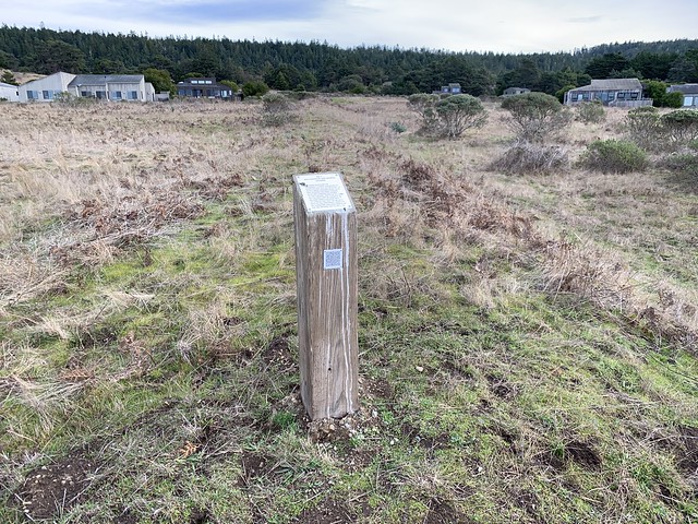
Marker 35E-7
See this location on Yahoo Maps in Flickr
See this location on Google Maps
This site is located on the Del Mar Meadow Trail, Sea Ranch, California. The Sea Ranch Archives Committee has identified twenty-six historic sites scattered about The Sea Ranch. They have constructed trail markers with information explaining the significance of each place. They were placed as part of The Sea Ranch 50th anniversary being celebrated from Memorial Day 2014 to Memorial Day 2015. The GPS coordinates for this location are 38° 44' 29.7" N 123° 30' 25.8" W.
A logging railroad cut diagonally across this meadow from the mill site on the bluff to the what's now Leeward Road, then ran toward the Knipp-Stengel barn and terminated below Hugal's Ravine. North of the barn on the west side of the Highway 1 , worker family housing was located at the cul-de-sacs seen to the Northeast. Evidence of quarrying has been found on the hill beyond the cul-de-sacs.


No comments:
Post a Comment