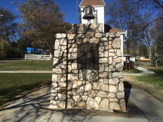
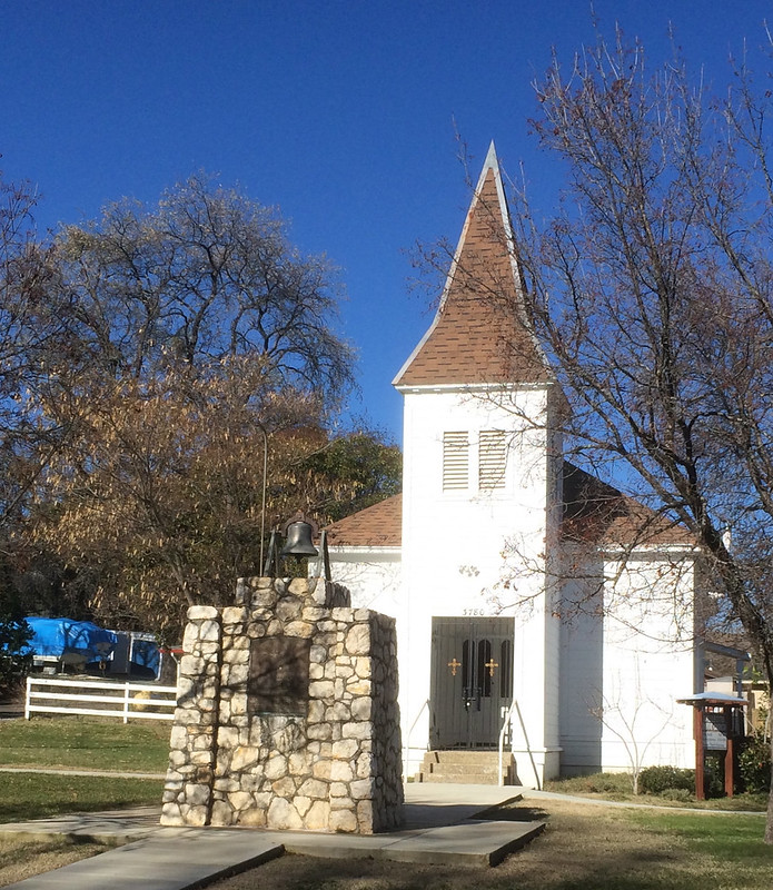
Vallecito Bell Monument
California State Historical Landmark #370
See this location on Yahoo Maps in Flickr
See this location on Google Maps
This landmark is located at the intersection of Church Street and Cemetery Lane, Vallecito, California in Calaveras County. There are 40 other California State Historical Landmarks in Calaveras County. The GPS coordinates for this location are N 38° 05' 10.7" W 120° 28' 27.2".
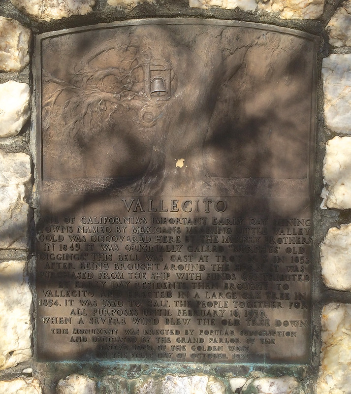
Named 'Little Valley' by Mexicans, Vallecito was one of California's important early-day mining towns. Gold was discovered here by the Murphy brothers in 1849, and it was originally called 'Murphy's old diggings.' This bell, cast at Troy, New York in 1853, was brought around the horn. It was purchased from the ship with funds contributed by early-day residents and brought to Vallecito to be erected in a large oak tree in 1854. It was used to call the people together until February 16, 1939, when a severe wind blew the old tree down.
No comments:
Post a Comment