California State Historical Landmark #264
See this location on Yahoo Maps in Flickr
See this location on Google Maps
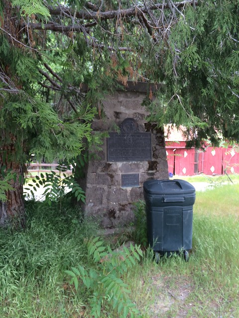
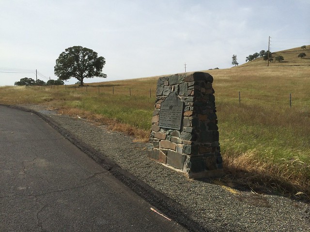
This landmark is located on Double Springs Road, 3.6 miles east of Valley Springs, California in Calaveras County. There are 40 other California State Historical Landmarks in Calaveras County. The GPS coordinates for this location are 38° 12' 47.9" N 120° 46' 25.0" W.
You can log your visit to this landmark at waymark.com.
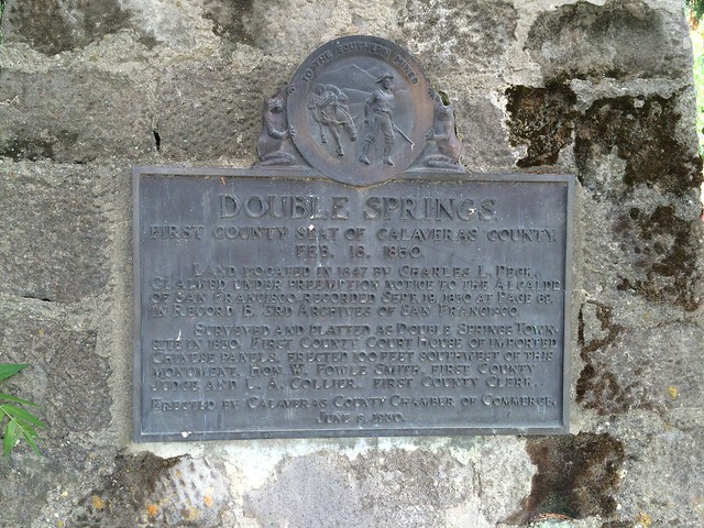
First County Seat of Calaveras County - Feb 18 1850
Land located in 1847 by Charles L. Peck. Claimed under preemption notice to the Alcalde of San Francisco. Recorded Sept 18, 1850 at page 69 in record B, 3rd archives of San Francisco.
Surveyed and platted as Double Springs town site in 1850. First county court house of imported Chinese panels erected 100 feet southwest of this monument. Hon. W. Fowle Smith, first county judge and L. A. Collier, first county clerk.
June 8, 1930.
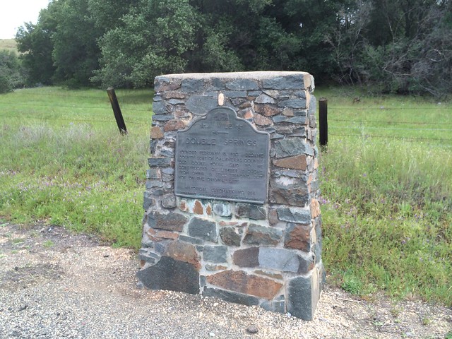
There are two traditional California Historical Landmark markers along Highway 12.
The western marker is located at 38°12'18.8"N 120°47'27.5"W (38.205233, -120.790978).
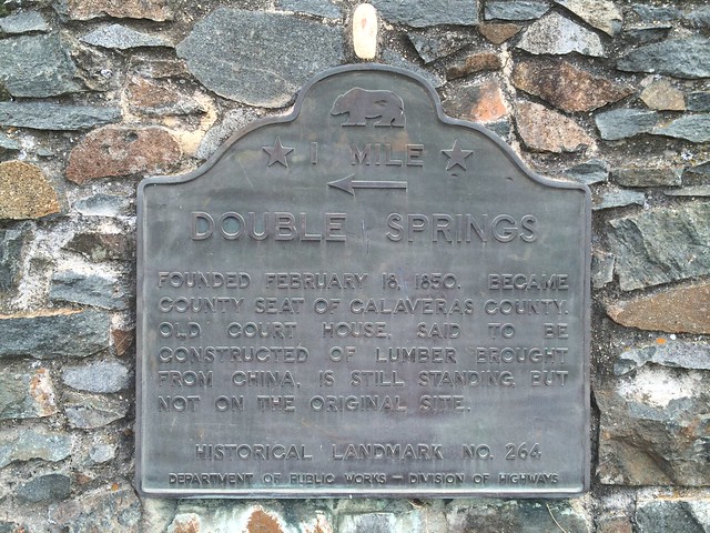
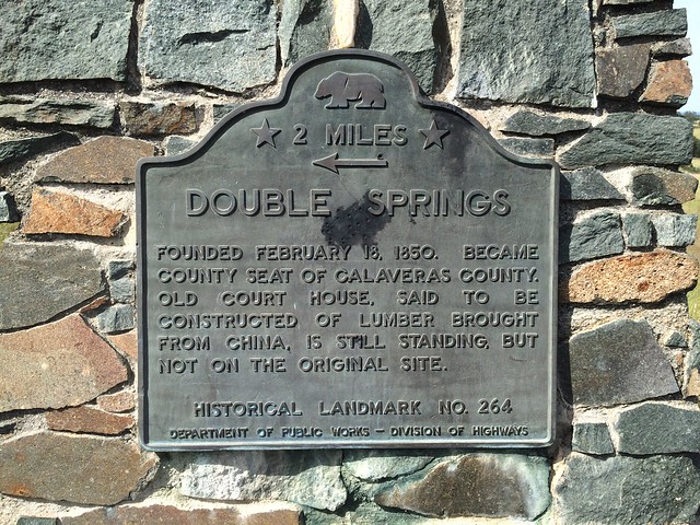
Founded February 18, 1850, Double Springs was once the seat of Calaveras County. The old courthouse, said to be constructed of lumber brought from China, is still standing, but not on its original site.
The eastern marker is located at 38°12'34.0"N 120°44'31.0"W. (38.209441, -120.741937)
No comments:
Post a Comment