California State Historical Landmark #561
See this location on Yahoo Maps in Flickr
See this location on Google Maps
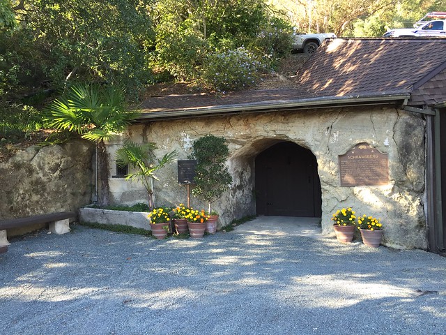
This landmark is located at the end of Schramsberg Road, on Highway 29, 3.1 miles south of Calistoga, California. There are 16 other California State Historical Landmarks in Napa County. The GPS coordinates for this location are 38° 33' 01.4" N 122° 32' 17.1" W.
You can log your site to this site at waymarking.com!
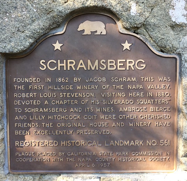
Founded in 1862 by Jacob Schram, this was the first hillside winery of the Napa Valley. Robert Louis Stevenson, visiting here in 1880, devoted a chapter of his 'Silverado Squatters' to Schramsberg and its wines, Ambrose Bierce and Lilly Hitchcock Coit were other cherished friends. The original house and winery have been excellently preserved.
Working out of St. Helena from January through November of 2015, I have started exploring California Historical Landmarks in Napa, Sonoma and Lake Counties, including: Site of Stone and Kelsey Home [#426], The Battle of Bloody Island [#427], Sulphur Bank Mine [#428], Lower Lake Stone Jail [#429], Stone House [#450], Old Bull Trail Road and St Helena Toll Road [#467], Chiles Grist Mill [#547], Schramsberg [#561], Charles Krug Winery [#563], Site of York's Cabin [#682], Site of Hudson Cabin [#683], Sam Brannan Store [#684], Sam Brannan Cottage [#685], Site of Kelsey House [#686], Beringer Brothers Winery [#814], Old Lake County Courthouse [#897], Petrified Forest [#915] and Litto's Hubcap Ranch [#939]. I visited all seven of the California Historical Landmarks in Lake County and finished visiting all of the Napa landmarks.


No comments:
Post a Comment