Marker 39B-10
See this location on Yahoo Maps in Flickr
See this location on Google Maps
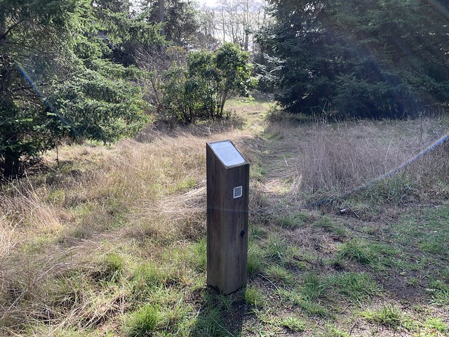
This site is located on the lower part of the Azalea Loop Trail, Sea Ranch, California. The Sea Ranch Archives Committee has identified twenty-six historic sites scattered about The Sea Ranch. They have constructed trail markers with information explaining the significance of each place. They were placed as part of The Sea Ranch 50th anniversary being celebrated from Memorial Day 2014 to Memorial Day 2015. The GPS coordinates for this location are 38° 44' 36.2" N 123° 29' 51.9" W.
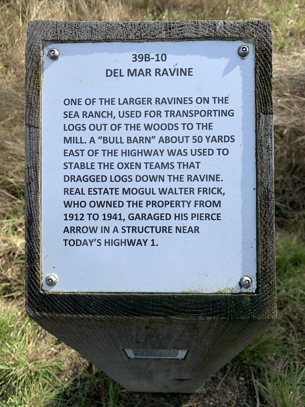
One of the larger ravines on The Sea Ranch, used for transporting logs out of the woods to the mill. A "bull barn" about 50 yards east of the highway was used to stable oxen teams that dragged logs down the ravine. Real estate mogul Walter Frick, who owned the property from 1912 to 1941, garaged his Pierce Arrow in a structure near today's Highway 1.
No comments:
Post a Comment