California State Historical Landmark #529
See this location on Yahoo Maps in Flickr
See this location on Google Maps
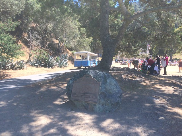
This landmark is located in Hospital Cove, Angel Island State Park, California. There are 13 other landmarks in Marin County. The GPS coordinates for this location are N 37° 52.006 W 122° 26.093.
You can log your visit to this landmark at waymark.com.
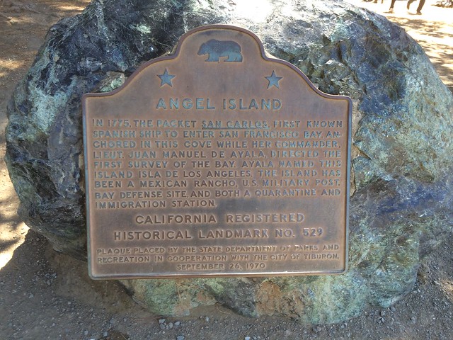
In 1775, the packet San Carlos, first known Spanish ship to enter San Francisco Bay, anchored in this cove. While here, the commander, Lieut. Juan Manual de Ayala, directed the first survey of the bay. This island, which Ayala named Isla de los Angeles, has been a Mexican rancho, a U.S. military post, a bay defense site, and a quarantine and immigration station.
No comments:
Post a Comment