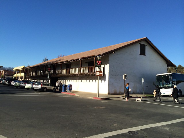
(Sonoma Barracks)
California State Historical Landmark #316
See this location on Yahoo Maps in Flickr
See this location on Google Maps
This landmark is located in the Sonoma State Historic Park at the northwest corner of East Spain and 1st Street East, Sonoma, California. There are 26 other California State Historical Landmarks in Sonoma County. The GPS coordinates for this location are N 38° 17.619 W 122° 27.394.
You can log your visit to this landmark at waymark.com.

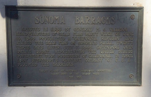
Sonoma Barracks was erected in 1836 by General M. G. Vallejo. It became the headquarters of the Bear Flag Party, which in June 1846 proclaimed a 'California Republic' and raised the Bear Flag on Sonoma's Plaza. Twenty-three days later, on July 7, 1846, Commodore John Drake Sloat took possession of California for the United States government. Stevenson's Regiment, Company C, U.S.A., occupied the barracks in April 1847.

No comments:
Post a Comment