Circa 1845
Marker 36-16A
See this location on Yahoo Maps in Flickr
See this location on Google Maps
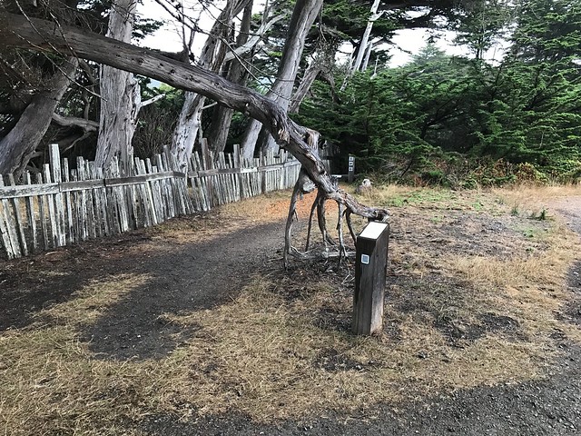
This site is located at 49 Wild Iris, Sea Ranch, California. The Sea Ranch Archives Committee has identified twenty-six historic sites scattered about The Sea Ranch. They have constructed trail markers with information explaining the significance of each place. They were placed as part of The Sea Ranch 50th anniversary being celebrated from Memorial Day 2014 to Memorial Day 2015. The GPS coordinates for this location are 38° 42' 57.2" N 123° 27' 33.4" W.
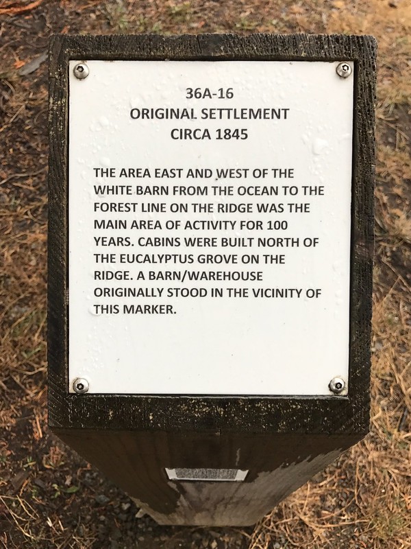
The area east and west of the white barn from the ocean to the forest line on the ridge was the main area of activity for 100 years. Cabins were built north of the eucalyptus grove on the ridge. A barn/warehouse originally stood in the vicinity of this marker.
No comments:
Post a Comment