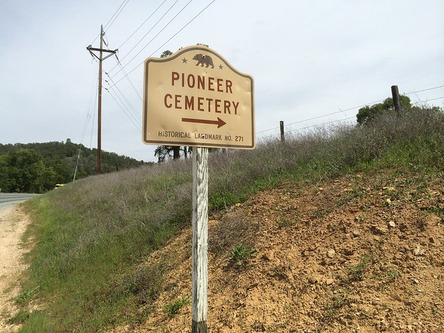
California State Historical Landmark #271
See this location on Yahoo Maps in Flickr
See this location on Google Maps
This landmark is located on State Highway 12, 0.7 miles west of junction with State Highway 49, 1.8 miles west of San Andreas, California in Calaveras County. There are 40 other California State Historical Landmarks in Calaveras County. The GPS coordinates for this location are N 38° 12.497 W 120° 42.467.
You can log your visit to this landmark at waymark.com.
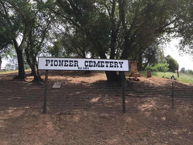
This pioneer cemetery was said to have been established in 1851. Most of the graves are unmarked - stones appeared over only three of them in 1936. This cemetery is located almost opposite where the town of North Branch originally stood, before the site was mined for gold.
No comments:
Post a Comment