California State Historical Landmark #313
See this location on Yahoo Maps in Flickr
See this location on Google Maps
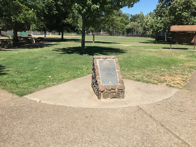
This landmark is located at 1928 Manzanita Avenue, Tidwell Park, Hooker Oak Recreation Area, Manzanita Ave between Vallombrosa and Hooker Oak Avenue, Chico in Butte County. There are 10 other California State Historical Landmarks in Butte County. The GPS coordinates for this location are N 39° 45.591 W 121° 47.861.
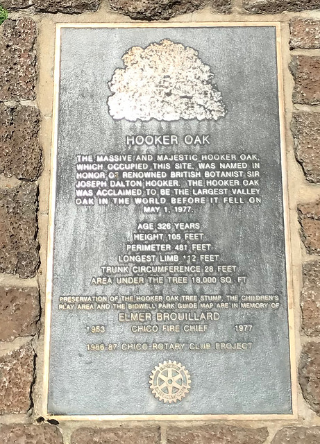
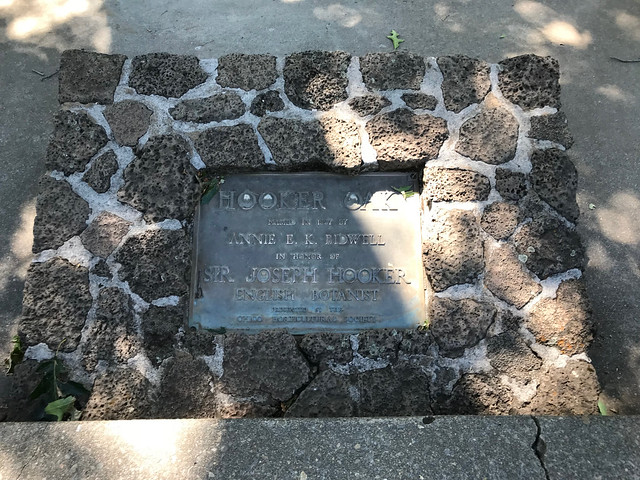
In 1887 Annie E. K. Bidwell named this huge oak after English botanist Sir Joseph Hooker. When it fell during a windstorm in 1977, it was estimated to be over a thousand years old - it was nearly a hundred feet tall and 29 feet in circumference eight feet from the ground. The largest branch measured 111 feet from trunk to tip - circumference of outside branches was nearly five hundred feet.


No comments:
Post a Comment