Marker 25A-23
See this location on Yahoo Maps in Flickr
See this location on Google Maps
This marker is located at the end of River Beach Road, Sea Ranch, California. The Sea Ranch Archives Committee has identified twenty-six historic sites scattered about The Sea Ranch. They have constructed trail markers with information explaining the significance of each place. They were placed as part of The Sea Ranch 50th anniversary being celebrated from Memorial Day 2014 to Memorial Day 2015. The GPS coordinates for this location are 38° 42' 23.0" N 123° 25' 28.2" W.
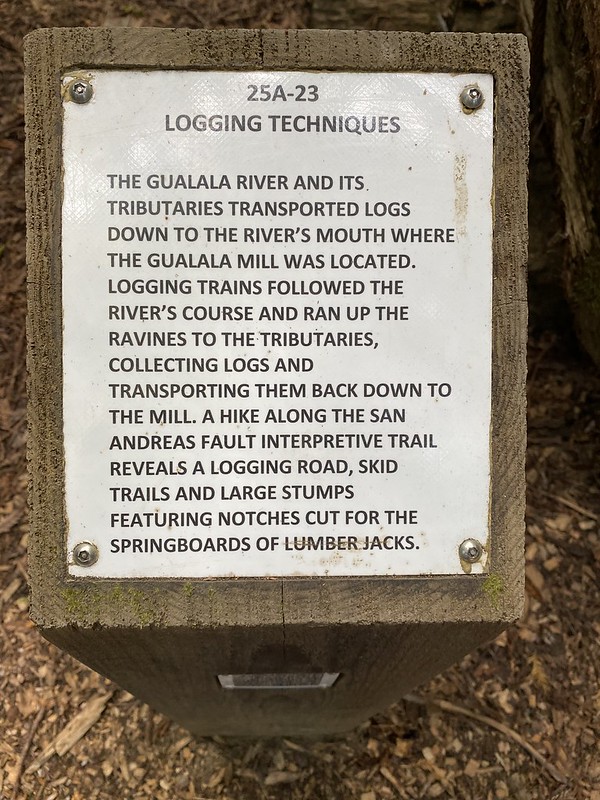
The Gualala River and its tributaries transported logs down to the river's mouth where the Gualala Mill was located. Logging trains followed the river's course and ran up the ravines to the tributaries, collecting logs and transporting them back down to the mill. A hike along the San Andreas Fault Interpretive Trail reveals a logging road, skid trails and large stumps featuring notches cut for the springboards of lumber jacks.

No comments:
Post a Comment