Marker 35A-3
See this location on Yahoo Maps in Flickr
See this location on Google Maps
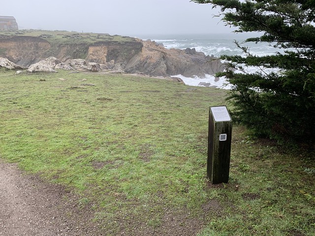
This site is located on the Bluff Trail near 384 Fish Rock, Sea Ranch, CA 95497, California. The Sea Ranch Archives Committee has identified twenty-six historic sites scattered about The Sea Ranch. They have constructed trail markers with information explaining the significance of each place. They were placed as part of The Sea Ranch 50th anniversary being celebrated from Memorial Day 2014 to Memorial Day 2015. The GPS coordinates for this location are 38° 44' 43.0" N 123° 30' 59.9" W.
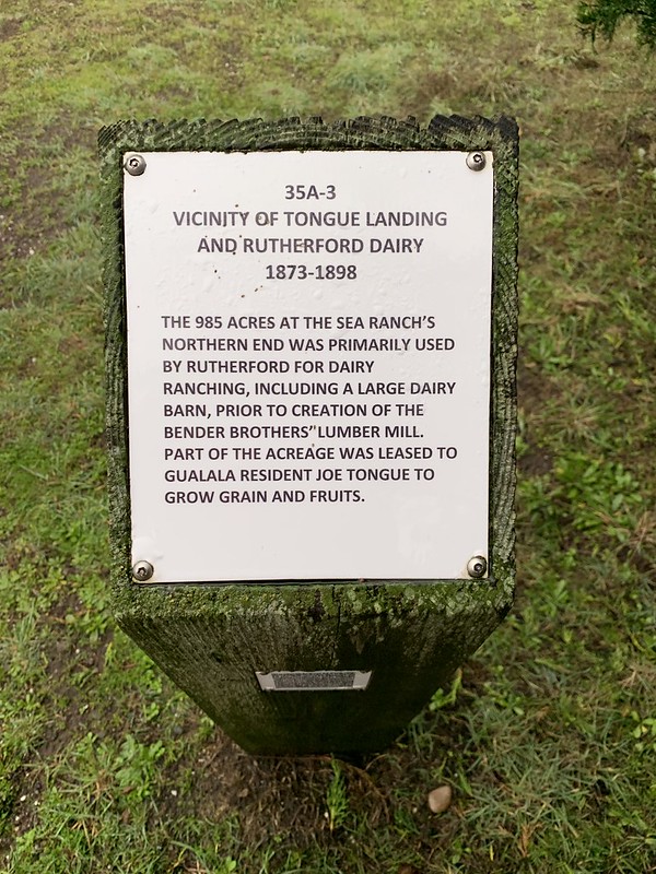
The 985 acres at the Sea Ranch's Northern end was primarily used by Rutherford for dairy ranching, including a large dairy barn, prior to the creation of the Bender Brothers' lumber mill. Part of the acreage was leased to Gualala resident Joe Tongue to grow grain and fruits.
No comments:
Post a Comment