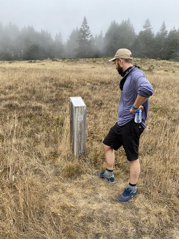
Marker 30A-22
See this location on Yahoo Maps in Flickr
See this location on Google Maps
This site is located on the Spring Meadow Trail at Sea Ranch, California. The Sea Ranch Archives Committee has identified twenty-six historic sites scattered about The Sea Ranch. They have constructed trail markers with information explaining the significance of each place. They were placed as part of The Sea Ranch 50th anniversary being celebrated from Memorial Day 2014 to Memorial Day 2015. The GPS coordinates for this location are 38° 44' 00.1" N 123° 28' 38.3" W.

Uphill to the Northeast lies what was the site of a U.S. Army Air Force's aircraft control and warning station. It covered 12.5 acres and had facilities for 150 men, 35 dogs and a vehicle mounted 75 MM gun used to patrol coastal beaches. The radar building stood on the hillside above. Less than 20 years after the base's closure, the Sea Ranch airport below was built for more peaceful purposes.
No comments:
Post a Comment