California State Historical Landmark #422
See this location on Yahoo Maps in Flickr
See this location on Google Maps
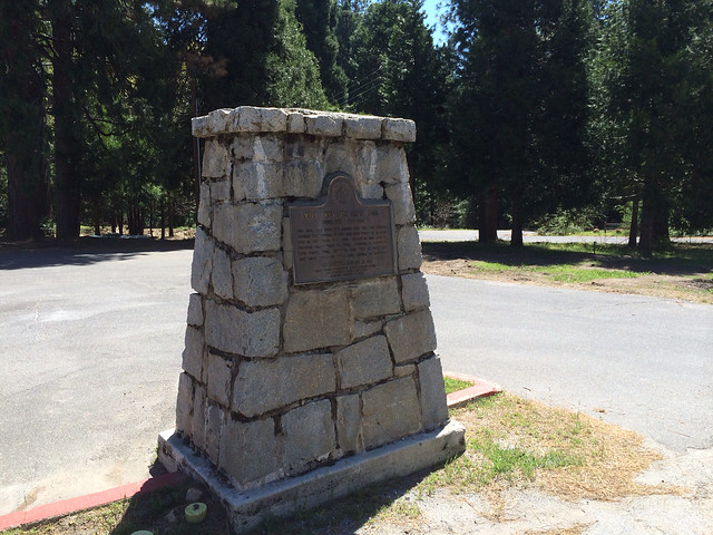
This landmark is located on State Highway 108 at Sugar Pine cutoff, Sugar Pine, California in Tuolumne County. There are 19 other California State Historical Landmarks in Tuolumne. The GPS coordinates for this location are N 38° 03.669 W 120° 11.969.
You can log your visit to this landmark at waymark.com.
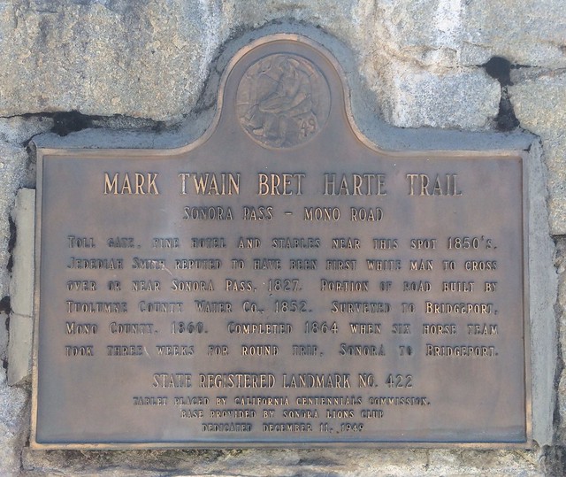
Sonora Pass - Mono Road
Toll Gate, Fine Hotel and Stables near this spot 1850's.
Jedediah Smith reputed to have been first white man to cross
over or near Sonora Pass, 1827. Portion of Road built by
Tuolumne County Water Co., 1852. Surveyed to Bridgeport,
Mono County, 1860. Completed 1864 when six horse team
took three weeks for round trip, Sonora to Bridgeport.
State Registered Landmark No. 422
Tablet placed by California Centennials Commission.
Base provided by Sonora Lions Club
Dedicated December 11, 1949
The oldest trans-Sierra emigrant trail to California crossed over the Sonora Pass. Today’s Highway 108 is much the same route as the Old Sonora-Mono Toll Road. The toll road was constructed to increase the flow of supplies from Tuolumne County to new gold camps on the east side of the Sierra Nevada.

No comments:
Post a Comment