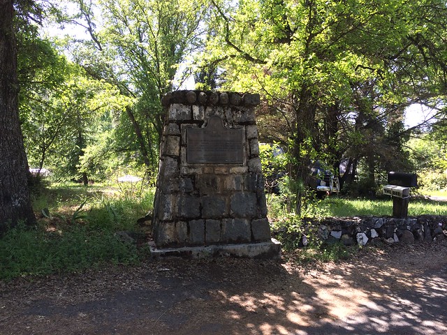
California State Historical Landmark #424
See this location on Yahoo Maps in Flickr
See this location on Google Maps
This landmark is located at 22041 Sawmill Flat Road, 2 miles southeast of Columbia, California in Tuolumne County. There are 19 other California State Historical Landmarks in Tuolumne. The GPS coordinates for this location are N 38° 01.369 W 120° 22.796.
You can log your visit to this landmark at waymark.com.
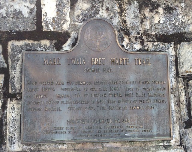
Name derived from two sawmills erected here to supply mining timbers in the early 1850s, Sawmill Flat was rich in pocket gold in its heyday, population at one time was 1,000. The mining camp of a Mexican woman, Dona Elisa Martínez, at north end of the flat, is reported to have been a hideout of the famous bandit Joaquin Murieta. The legendary 'Battle of Sawmill Flat' would have taken place here.
No comments:
Post a Comment