California State Historical Landmark #407
See this location on Yahoo Maps in Flickr
See this location on Google Maps
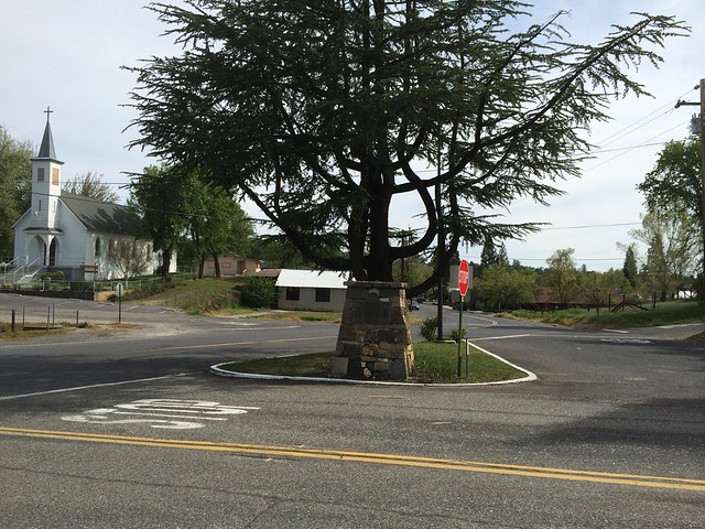
This landmark is located in the island, center of Carter Street at intersection with Tuolumne Road, Tuolumne, California in Tuolumne County. There are 19 other California State Historical Landmarks in Tuolumne. The GPS coordinates for this location are N 37° 57.862 W 120° 14.166.
You can log your visit to this landmark at waymark.com.
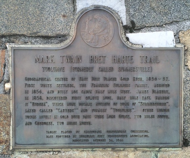
Geographical center of East belt Placer Gold Rush, 1856-57. First white settlers, the Franklin Summers Family, arrived in 1854, and built log cabin half mile west. James Blakely, in 1858, discovered first quartz lode, half mile east, naming it "Eureka", which mine became nucleus of town of "Summersville", later called "Carters" and finally "Tuolumne". Other mining towns lively in Gold Rush days were Long Gulch, two miles south, and Cherokee, two miles north.
No comments:
Post a Comment