Marker 1-28
See this location on Yahoo Maps in Flickr
See this location on Google Maps
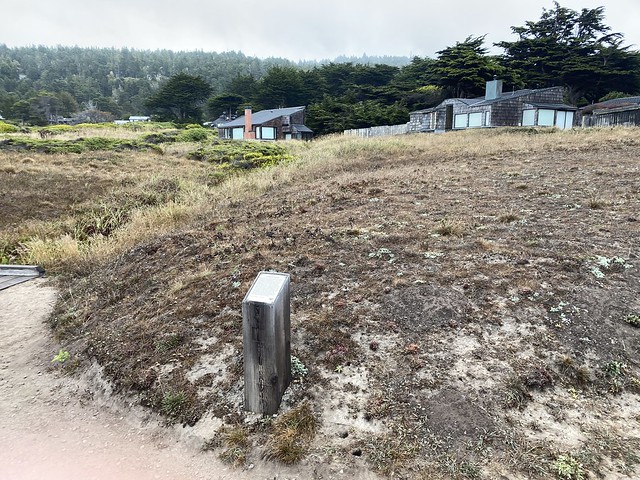
This marker is located on the Bluff Trail near the end of Black Point Reach, Sea Ranch, California. The Sea Ranch Archives Committee has identified twenty-six historic sites scattered about The Sea Ranch. They have constructed trail markers with information explaining the significance of each place. They were placed as part of The Sea Ranch 50th anniversary being celebrated from Memorial Day 2014 to Memorial Day 2015. The GPS coordinates for this location are 38° 41' 05.0" N 123° 25' 53.6" W.

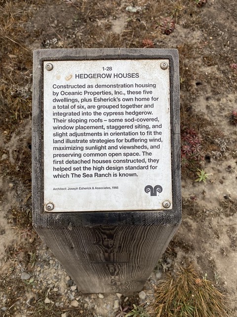
Constructed as demonstration housing by Oceanic Properties, Inc., these five dwellings, plus Esherick's own home for a total of six, are grouped together and integrated into the cypress hedgerow. Their sloping roofs - some sod-covered, window placement, staggered siting, and slight adjustments in orientation to fit the land illustrate the strategies for buffering wind, maximizing sunlight and viewsheds, and preserving common open space. The first detached houses constructed, they helped set the high design standard for which The Sea Ranch is known.

No comments:
Post a Comment