See this location on Yahoo Maps in Flickr
See this location on Google Maps
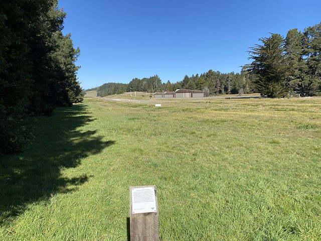
This marker is located on the Airstrip Trail along Annapolis Road, Sea Ranch, California. The Sea Ranch Archives Committee has identified twenty-six historic sites scattered about The Sea Ranch. They have constructed trail markers with information explaining the significance of each place. They were placed as part of The Sea Ranch 50th anniversary being celebrated from Memorial Day 2014 to Memorial Day 2015. Since then, a number of architecture and landscape markers have been added. The GPS coordinates for this location are 38° 42' 02.6" N 123° 25' 41.8" W.
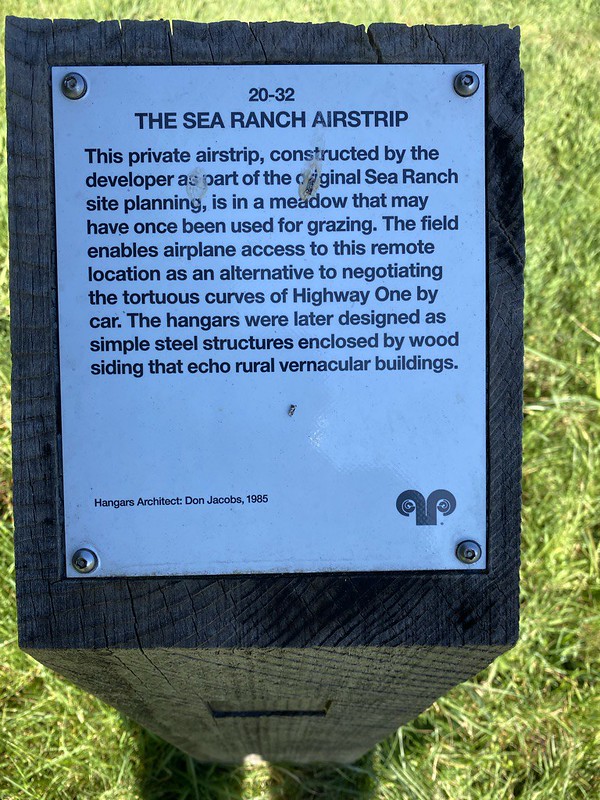
This private airstrip, constructed by the developer as part of the original Sea Ranch site planning, is a meadow that may have once been used for grazing. The field enables airplane access to this remote location as an alternative to negotiating the tortuous curves of Highway One by car. The hangers were later designed as simple steel structures enclosed by wood siding that echo rural vernacular buildings.
No comments:
Post a Comment