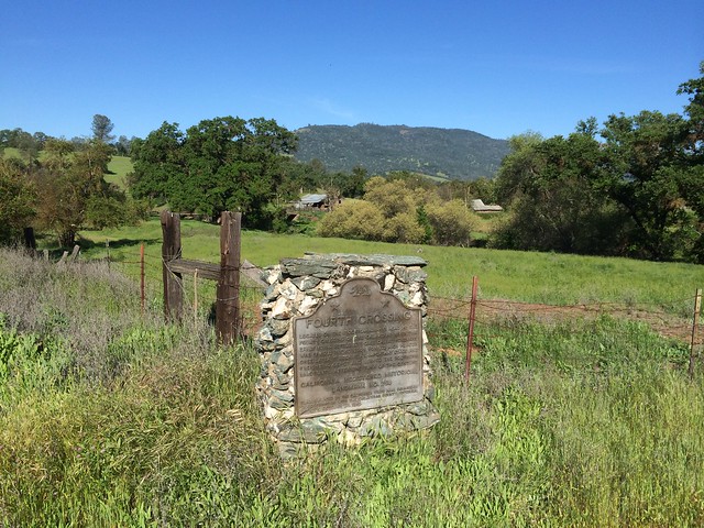
Looking to the northwest, this is one of the more picturesque locations for a California Historical Landmark marker.
California State Historical Landmark #258
See this location on Yahoo Maps in Flickr
See this location on Google Maps
This landmark is located On State Highway 49 at San Antonio Creek, 5 miles south of San Andreas, California in Calaveras County. There are 40 other California State Historical Landmarks in Calaveras County. The GPS coordinates for this location are N 38° 07.837 W 120° 38.071.
You can log your visit to this landmark at waymark.com.
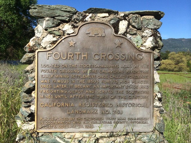
Located on the Stockton-Murphys Road at a crossing of the Calaveras River, this early mining settlement, once called Foremans, was famous in the 1850s for its rich placer ores. Later, as an important stage and freighting depot, it served the southern mines until after the turn of the century.
No comments:
Post a Comment