California State Historical Landmark #265
See this location on Yahoo Maps in Flickr
See this location on Google Maps
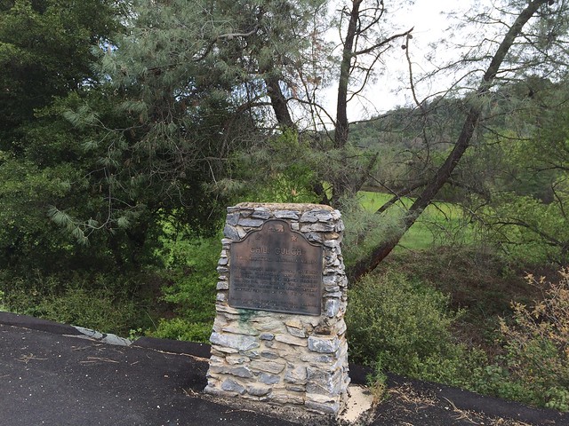
This landmark is located on State Hwy 49, 1.4 miles south of Mokelumne Hill, California in Calaveras County. There are 40 other California State Historical Landmarks in Calaveras County. The GPS coordinates for this location are N 38° 16.840 W 120° 42.518.
You can log your visit to this landmark at waymark.com.
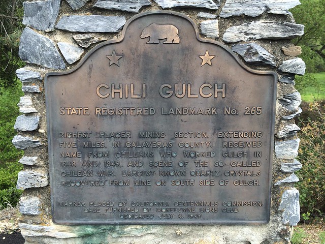
This five-mile gulch was the richest placer mining section in Calaveras County. It received its name from Chileans who worked it in 1848 and 1849, and was the scene of the so-called Chilean War. The largest known quartz crystals were recovered from a mine on the south side of the gulch.
No comments:
Post a Comment