California State Historical Landmark #445
See this location on Yahoo Maps in Flickr
See this location on Google Maps
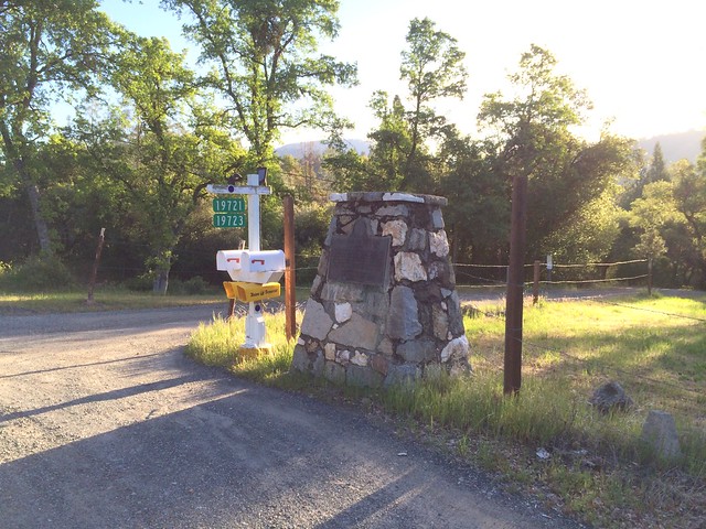
This landmark is located on Confidence-Tuolumne City Road, 2 miles north of Tuolumne City, California in Tuolumne County. There are 19 other California State Historical Landmarks in Tuolumne. The GPS coordinates for this location are N 37° 58.790 W 120° 14.910.
You can log your visit to this landmark at waymark.com.
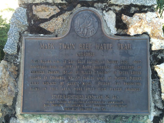
First Placer camp in east belt section of Mother Lode. Gold was discovered here in 1853 by the Scott brothers, descendants of Cherokee Indians. Scars of placer 'diggins' in every little arroyo in Cherokee Valley, healed over by Mother Nature, were later replaced by a quartz mine. Present-day productive farms in this area were once rich placer grounds.
No comments:
Post a Comment